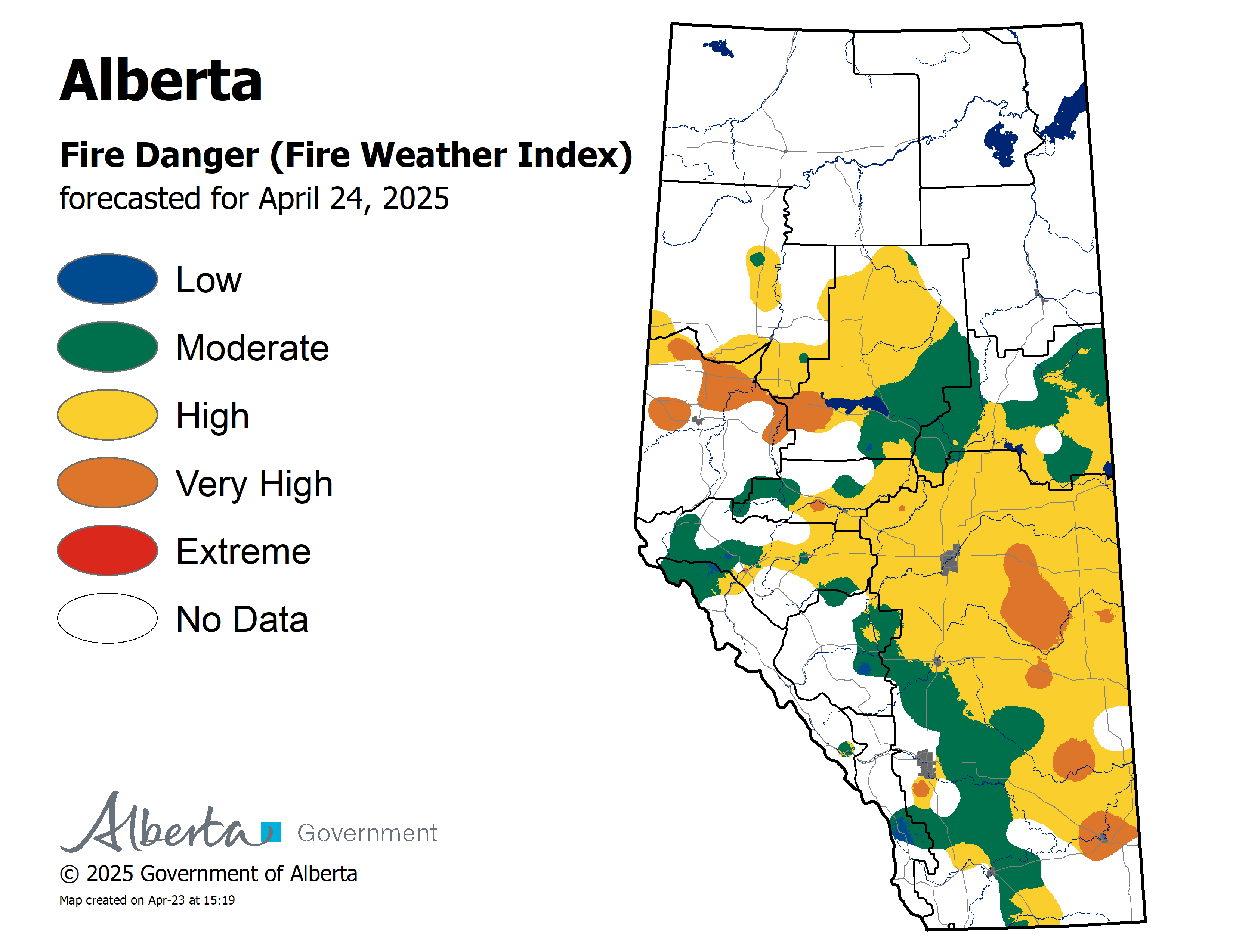
The fire danger in the Peace River Forest Area (PRFA) has climbed to VERY HIGH for May 31th. Although we did receive some rain in the PRFA, the amount varies and some locations in the northern forest area did not receive any precipitation.
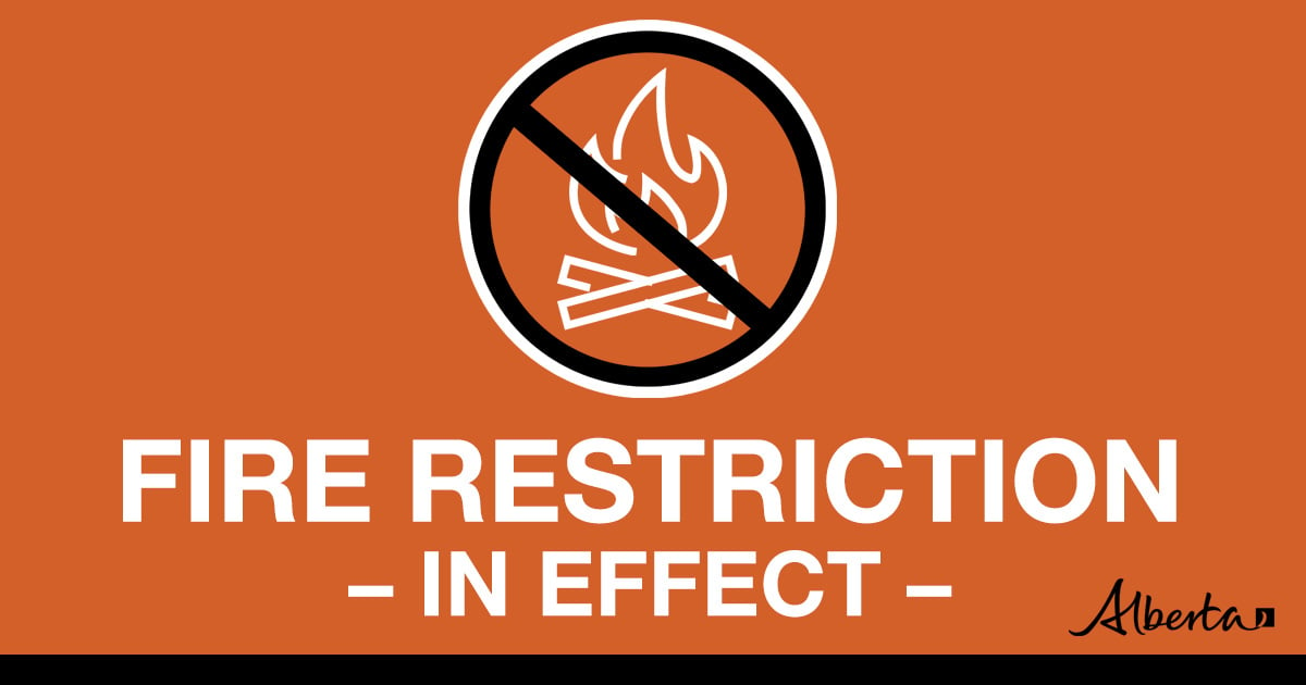
Fire activity has continued to increase which stresses the importance of adhering to the Fire Restriction that is in effect.
Warm weather and winds can quickly dry the fine fuels raising the danger levels. Report wildfires immediately by calling 310-FIRE(3473).
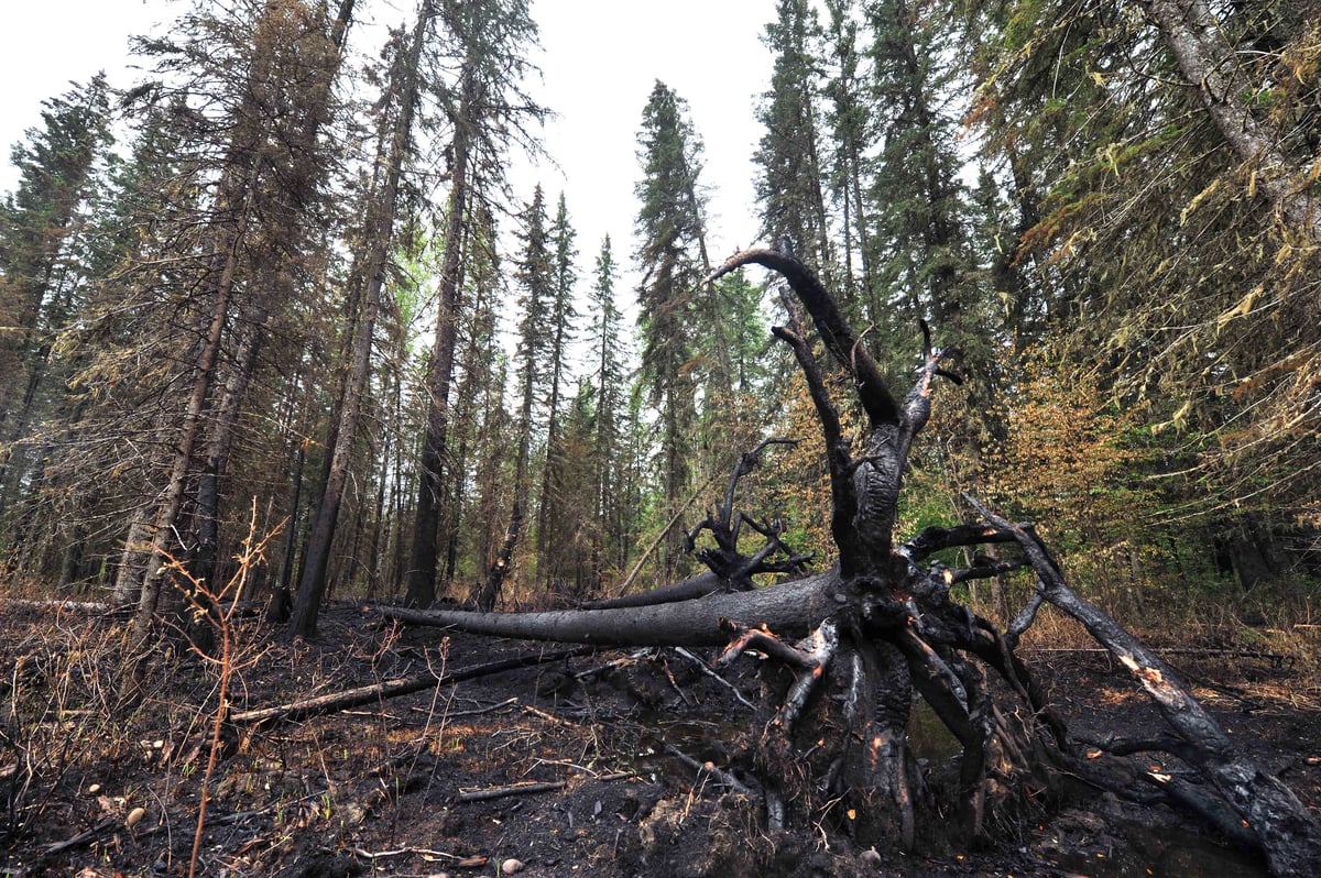
A mandatory evacuation for Peavine Metis Settlement has been downgraded to an Alert. As residents settle back into their community we ask that everyone exercise caution on the landscape should they venture in or near areas where wildfire has burned over forested areas. The trees affected by wildfire can have compromised root systems that make them prone to falling over – especially in windy conditions.
Please stay away from these areas until the areas have been assessed and officials are able to mitigate the danger in areas of high public usage. For more information on this alert, click here.
We also ask residents to avoid venturing into forested areas that have been recently affected by wildfire as they can present other hazards such as falling trees, as a result of root systems being compromised by fire.
Wildfire Situation
Since January 1, there have been 49 wildfires in the Peace River Forest Area (PRFA) burning a total of 6,837.47 hectares (ha).
The Kimiwan Complex Wildfire PCX001 (SWF068 and PWF038) – SWF068 is classified as Out of Control (OC). The current fire size is 122,289 ha and it is currently 67 per cent contained. days.
For Thursday, highs of 18 to 23 degrees are expected with RH minimums of 20 to 30 per cent and light SW-S winds of 10 to 15 kilometers per hour.
Firefighters continued to work on an eastern flank extension area of growth today, and firefighters will be conducting hand ignition south and east of Seal Lake. Smoke from SWF068 will continue to be visible to communities to the north and northeast of the wildfire.
Heat scans have been completed of both fires, which helps firefighters identify hot spots for direct or indirect attack. Work to link dozer guards on the east flank from the south and north is continuing.
The interior of active wildfires can flare up as previously unburnt vegetation catches fire. This is a normal occurrence. Firefighters are monitoring these fires and working to put out hots spots.
PWF038 is now classified as Being Held (BH) and 100 per cent contained.
An Incident Management Team is now in place in The Peace River Forest Area (PRFA) and has taken over management of the Kimiwan Complex which includes both (SWF068 and PWF038) fires. Additional firefighting crews and resources are being deployed to assist. These resources were deployed to the Peace River Forest Area from Alberta Wildfire through interagency agreements. Alberta has requested additional resources through the Canadian Interagency Forest Fire Centre in Winnipeg, and agreements with the United States and Mexico.
GWF018 has been reclassified as Out of Control (OC). It is now estimated to be 48,686 ha in size and 80 per cent contained. Yesterday, under dry, windy conditions, the wildfire experienced increased activity on the north and east flank and grew by approximately 800 ha.
Continue to stay informed by subscribing to Alberta Wildfire updates by entering your email. To view wildfires on a map, download the AB Wildfire App or visit the Wildfire Status page.
Caution is advised when travelling on area highways due to smoke conditions, especially in low lying areas. For road closures, visit 511 Alberta.
The fire restriction is in effect within the Peace River Forest Area(PRFA). Cities, towns, villages and summer villages as well as National Parks are exempt from this restriction. These jurisdictions have the authority to issue their own restrictions and may have complementary restrictions in place. Please refer to AlbertaFireBans.ca for exact locations.
Prohibited
All outdoor wood fires are banned on public lands, including backcountry and random camping. The use of fireworks and exploding targets are also prohibited.
Allowed • Safe wood campfires on private land and within provincial campgrounds if they are inside an engineered campfire ring. • Backyard fire pits. • Charcoal briquette barbeques. • Gas and liquid powered appliances (e.g., stoves, lanterns, fire rings). • Open flame oil devices (e.g., turkey deep fryers, tiki torches). • Indoor wood fires (such as inside a facility, building, tent or RV) and contained within a device with a chimney and spark arrestor. • Cooking, warming and lighting devices – all devices must be CSA approved and used per manufacturer’s standards. • Users are still responsible for care and attendance of all devices and should reduce their use during fire restrictions and bans. Approved activities or devices will not prevent prosecution or litigation if the user or device starts a wildfire.
Due to the numerous wildfires in Alberta, smoky conditions will persist in communities and along highways. Anyone with health concerns should visit Alberta Health Services or call 811 for health advice from Alberta Health Link. Before travelling, check 511.Alberta.ca for the latest road conditions or closures. Visit firesmoke.ca to see where the smoke is coming from and to view wildfires on a map, download the AB Wildfire App or visit the Alberta Wildfire Status Dashboard.
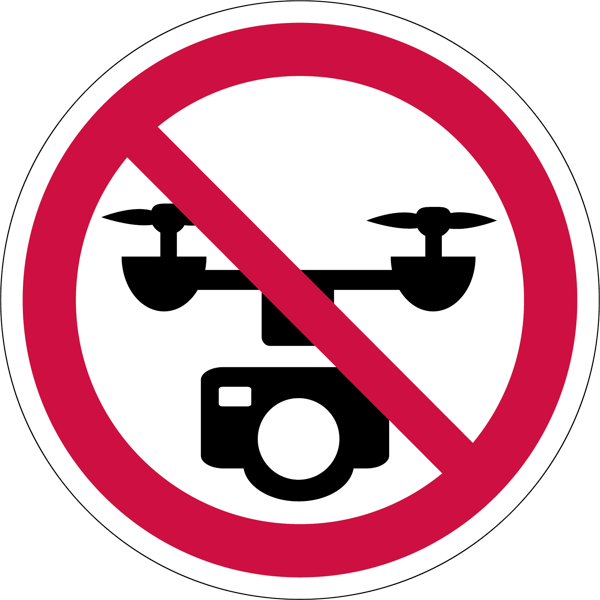
Do not fly drones near wildfires
The use of recreational drones over wildfires in Alberta is dangerous, illegal and could result in a fine of up to $15,000* for putting aircraft and people at risk. Please give Alberta firefighters the space they need to do their jobs safely.
*according to Transport Canada
NOTAM
Aircraft pilots are reminded to check NOTAMs before flying into areas with active wildfires. Flying into a NOTAM area without prior authorization will cause disruption to aerial firefighting.
310-FIRE
While we always appreciate people calling in to report wildfires, the large volume of calls we are currently receiving is diverting our resources away from other essential tasks. You can always visit firesmoke.ca to see where the smoke is coming from, and as always, please still call 310-FIRE if you see smoke or flame that looks new and potentially unreported, but assume that larger columns of smoke have already been detected. Thank you!
If you see smoke or flame in the forest, call 310-FIRE (3473).
Smoky conditions
Due to the numerous wildfires in Alberta, smoky conditions will persist in communities and along highways. Anyone with health concerns should visit Alberta Health Services or call 811 for health advice from Alberta Health Link. Before travelling check www.511.Alberta.ca for information the latest road conditions or closures. Visit www.firesmoke.ca to see where the smoke is coming from and to view wildfires on a map, download theAB Wildfire App or visit theAlberta Wildfire Status Dashboard.
A number of area municipalities have implemented emergency measures in response to wildfires.


 We also ask residents to avoid venturing into forested areas that have been recently affected by wildfire as they can present other hazards such as falling trees, as a result of root systems being compromised by fire.